ARCHIVED NEWS RELEASE
This document is provided for archival purposes only. Archived documents
do not reflect current WDFW regulations or policy and may contain factual
inaccuracies.
News release June 13, 2019
Scott Brummer, 360-520-6843
Jane Atha, 360-902-2577
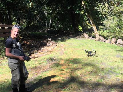
OLYMPIA – Scientists with the Washington Department of Fish and Wildlife (WDFW) will fly a drone over a section of Yellow Jacket Creek, a tributary to the Cispus River in Lewis County, on Thursday, June 20 and Friday, June 21.
WDFW will be collecting information to support a stream habitat assessment that will help determine suitable areas for mineral prospecting outside the established legal window of Aug. 1-15, as described in the Gold & Fish pamphlet.
“By using a drone, we can get photos of stream areas with steep slopes and limited access, in a safe and time-efficient way,” said Scott Brummer, WDFW biologist. “This information will be used to assist our ground-based observations to develop maps of suitable mineral prospecting locations.”
Brummer said the drone will be flown between 9 a.m. and 4 p.m. for approximately 30 to 60-minute periods both days.
The Washington Department of Fish and Wildlife is the state agency tasked with preserving, protecting and perpetuating fish, wildlife and ecosystems, while providing sustainable fishing and hunting opportunities.