ARCHIVED NEWS RELEASE
This document is provided for archival purposes only. Archived documents
do not reflect current WDFW regulations or policy and may contain factual
inaccuracies.
News release May 19, 2023
Media contact: Eryn Couch, 360-890-6604
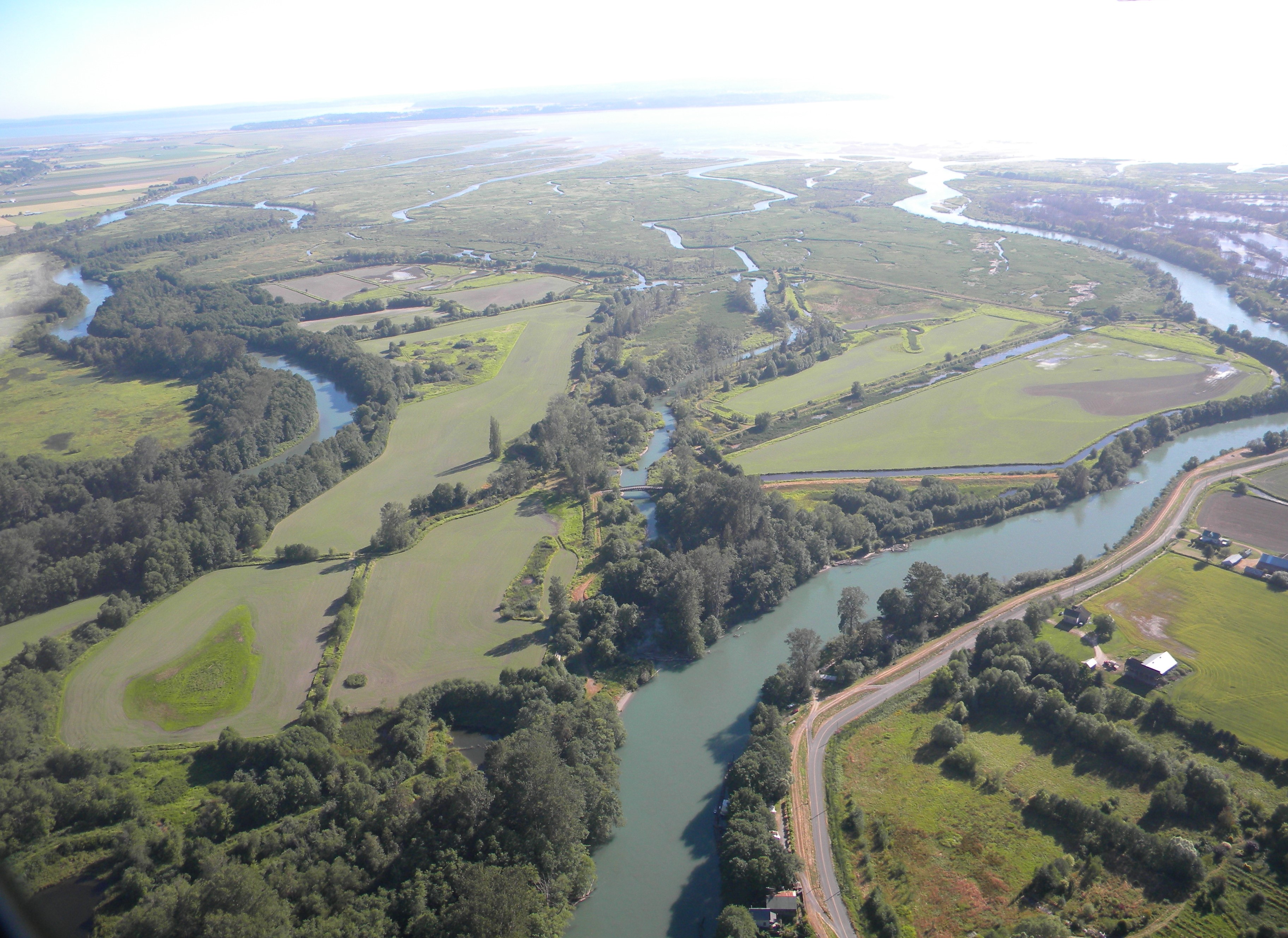
OLYMPIA – A Washington Department of Fish and Wildlife (WDFW) contractor will fly a drone over 2,765 acres of public land across the Milltown Island, Island, Headquarters, and Skagit Bay Estuary units of the Skagit Wildlife Area. The flights will map vegetation and, based on the result, identify and spray noxious weeds, such as invasive cattail and reed canarygrass, during low tide to improve delta habitat.
Spray treatment will occur in a select area (inaccessible to ground equipment) with aquatically approved herbicides under an aquatic noxious weed permit. Invasive plant control and data collected by the drone flights will support the Department’s land management goals of providing important estuary, wetland, and other upland habitats that support fish and wildlife while providing access for hunting, fishing, birdwatching, and other recreational experiences.
Flights will occur during daylight hours, generally from 8 a.m. to 5 p.m. and are anticipated to take place from May 22, 2023, through June 2023. Flight timing will be dependent on suitable flight conditions. All flights will be conducted in accordance with state and federal regulations.
WDFW manages more than a million acres of land and hundreds of water access areas throughout the state. By actively managing lands, restoring habitats, and preserving wild places, the Department serves as stewards for Washington’s natural places, protecting the state’s land and water for its human and wildlife populations.