ARCHIVED NEWS RELEASE
This document is provided for archival purposes only. Archived documents
do not reflect current WDFW regulations or policy and may contain factual
inaccuracies.
News release May 23, 2024
Media Contact: Ben Anderson, 360-902-0045
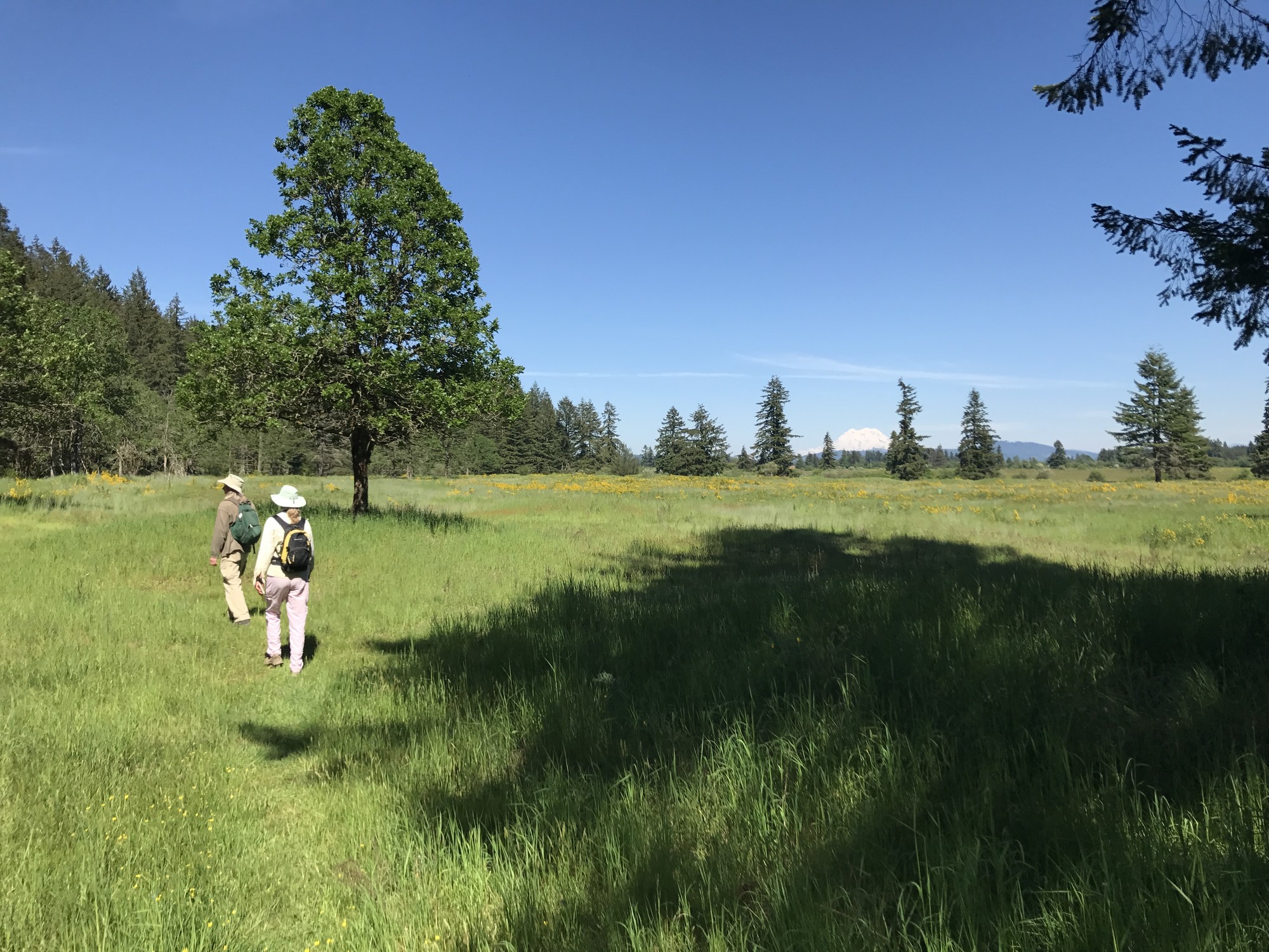
OLYMPIA — Washington Department of Fish and Wildlife (WDFW) staff will fly drones over state lands in Clallam and Thurston counties in 2024 to assess prairie conditions and restoration outcomes.
Chosen sites are known or suspected habitat for Species of Greatest Conservation Need, such as Taylor’s checkerspot and mardon skipper butterflies and streaked horned larks. Emphasis will be on flights over WDFW-managed wildlife areas, and the Department will seek pre-approval from landowners if staff consider flying over other lands.
Flights will occur from 8 a.m. to 5 p.m. and are expected to take place from May through the end of 2024. Exact times will depend on suitable flight conditions, such as favorable weather and no conflicts with members of the public using the area, including hunting.
No area closures or significant public impacts are expected. When flights occur on WDFW wildlife areas, staff will post signs notifying the public that research drone flights are in progress.
Flights will be conducted by employees with Federal Aviation Administration (FAA) Small Unmanned Aircraft Systems Remote Pilot certifications and will follow FAA drone flight regulations. Each pilot will maintain line-of-sight with their drone for awareness of potential disturbance to wildlife or people. They will ground the drone if flight conditions become unsuitable to fly safely or responsibly.
Flights will happen throughout 2024 so staff can track vegetation characteristics like vegetation height, host plant occurrence, and habitat quality across the growing season and assess pre- and post-restoration treatments.
The project will test drone and sensor capabilities that improve WDFW’s ability to map new habitat and monitor management and restoration outcomes. This drone habitat monitoring will help advance the overarching goals of the State Wildlife Action Plan, Scatter Creek Wildlife Area Plan, and recovery plans for federal or state listed species.
For more information on WDFW’s South Sound Prairie efforts, visit our westside prairie webpage.
WDFW manages more than a million acres of land and hundreds of water access areas throughout the state. By actively managing lands, restoring habitats, and preserving wild places, the Department serves as stewards for Washington’s natural places, protecting the state’s land and water for its human and wildlife populations.