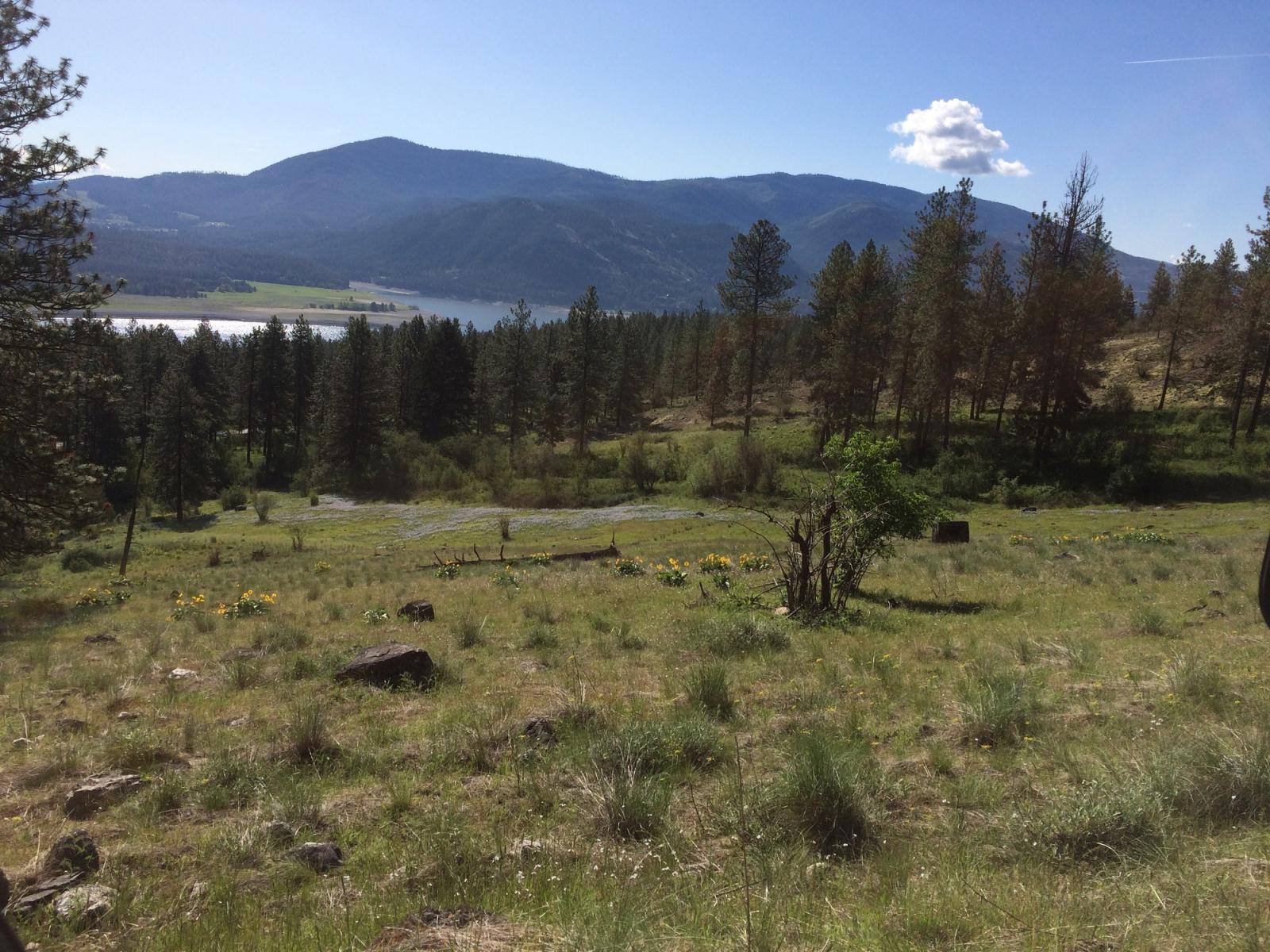
Sherman Creek Wildlife Area Unit
Sherman Creek Wildlife Area consists of approximately 11,100 acres WDFW-owned land and approximately 560 U.S. Fish and Wildlife Service acres, all managed as one unit at the lower end of the Sherman Creek Watershed. The watershed begins at the Kettle Crest and flows 24 miles down to the Columbia River. The wildlife area is located along the west side of Lake Roosevelt, in the eastern foothills of the Kettle River Range in Ferry County, about 3 miles northwest of the town of Kettle Falls.
Ponderosa pine and evergreen ceanothus habitat types dominate, but a greater variety of conifers are at higher elevations. Aspen thickets are common around the many seeps and springs on the area. The most common wildlife are white-tailed deer, but the area supports a wide diversity of other species, from bats to wild turkeys. Sherman Creek Wildlife Area was acquired in 1948 with Pittman-Robertson and State wildlife funds to protect deer winter range and provide wildlife recreation. By actively managing lands, restoring habitats, and preserving wild places, the department serves as stewards for Washington's natural places, protecting the state's land and water for its human and wildlife populations.
Wildlife area units
Management planning
2006 Sherman Creek Wildlife Area Management Plan
Every eight to 10 years, the Washington Department of Fish and Wildlife (WDFW) revises management plans for each of its 33 wildlife areas to document current conditions, address new agency initiatives, and identify new management priorities and actions. In between those major revisions, WDFW updates plans every two years to outline short-term objectives and accomplishments. In 2014, WDFW began the process of updating existing plans, many of which were written in 2006. The new plans are being developed with significant public participation and input.