Early season travel can be hazardous because of high-angle snow slopes and difficult route finding. Passing through meadows and sporadic forest, the trail passes little Hardtack Lake at 9 miles and reaches 9.9-acre Camp Lake at 11 miles where you will find good camping. From here the Lost Creek Ridge Trail climbs to a knoll, then drops to a rocky basin and descends to 51.2-acre Lake Byrne at 5,550 feet.
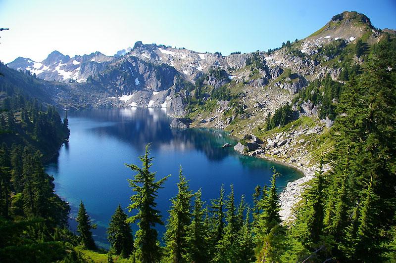
Surrounded by dramatic cliff walls, this lake melts out in August and can have good action for Coastal Cutthroat Trout.
Getting here:
Species you might catch
Lake information
County: Snohomish
Acreage: 48.80 ac.
Elevation: 5548 ft.
TRS: T30R12E SEC1
Center: 48.111144, -121.215561
Open in Google Maps
Fish stocking info
| Stock Date | Species | Number Released | Number of Fish Per Pound | Facility |
|---|---|---|---|---|
To view or download the source data for this table visit the WDFW Fish Plants dataset on the Washington State Open Data Portal
Photos