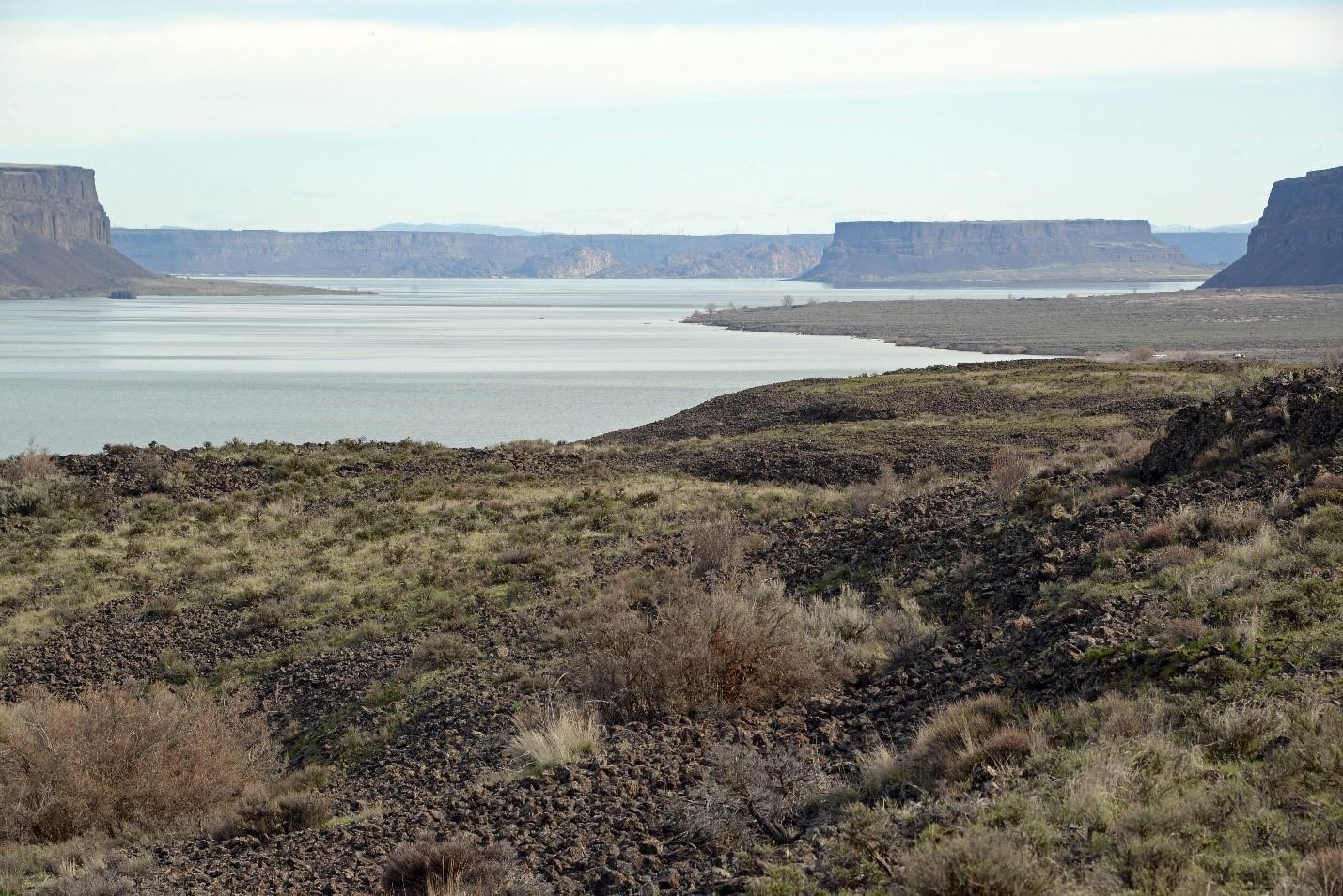
Banks Lake is a man-made impoundment for irrigation water in the Columbia Basin Irrigation Project. It is formed by the North Dam near Grand Coulee and the Dry Falls Dam near Coulee City and is filled with water from Franklin D. Roosevelt Reservoir (Lake Roosevelt). Most of the shoreline is ringed with basalt cliffs and talus slopes, and the dry uplands have shallow soils and rocky outcrops with shrubsteppe habitat. The Banks Lake Unit surrounds most of Banks Lake, and is predominantly U.S. Bureau of Reclamation land managed by WDFW.
The Banks Lake Unit is located north of Moses Lake and lies just south of Grand Coulee. Several boat launches, restrooms and campgrounds can be accessed from Highway 155.
The Banks Lake Unit surrounds Banks Lake in the Columbia Plateau. Banks Lake is a man-made impoundment for irrigation water in the Columbia Basin Irrigation Project. It is formed by the North Dam near Grand Coulee and the Dry Falls Dam near Coulee City, and is filled with water from Lake Roosevelt.
This unit is part of the Columbia Basin Wildlife Area.
Game Management Units: 254, 272, 248
Getting there
Maps and directions to WDFW-managed access points for this unit. Opens Google Maps in a new tab.
Recreation and public access
A Discover Pass is required on WDFW lands -- including water access areas, wildlife areas, and campgrounds -- unless you already have a Vehicle Access Pass issued with the purchase of an eligible hunting or fishing license. Recreate responsibly on public lands: please know the Public Conduct Rules.
Public facility information:
- Parking areas
- Restrooms
- ADA facilities provided at Ankeny #2 and Million Dollar-North water access sites
- 1 designated campground
Hunting
WDFW releases pheasants on this unit. Other upland game birds and small game species occur on site.
Hunting advisories
- A Game Reserve is established on this unit (WAC 220-411-030). Game Reserves are CLOSED AREAS where hunting and trapping for all wild animals and wild birds is prohibited (RCW 77.12.047).
Fishing
WDFW maintains five boat launches along Banks Lake to provide fishing and boating access. Other access points provide bank fishing opportunities.
Wildlife viewing
This unit includes lake shoreline, some wetland/riparian habitat, basalt cliffs, talus slopes, and shrubsteppe, offering opportunities to view a variety of wildlife, including mule deer, bald eagle, peregrine falcon, and common loon.
Search for potential birding opportunities on or near a wildlife area unit by using eBird Northwest, a citizen science database portal that provides freely-shared bird lists at 'hotspots' and interactive maps plus other birding information updated daily.
Conservation
This unit is formed by the North Dam near Grand Coulee and the Dry Falls Dam near Coulee City, and is filled with water from Franklin D. Roosevelt Reservoir (Lake Roosevelt). Most of the shoreline is ringed with basalt cliffs and talus slopes, and the dry uplands have shallow soils and rocky outcrops with shrubsteppe habitat.
Conservation goals
- Maintain enhanced wildlife habitats and preserve native plant communities and important habitats
- Restore and preserve shallow water habitat and pools
- Manage migrant waterfowl, upland game birds, and priority species
Land stewardship
The Banks Lake Unit was purchased by the U.S. Bureau of Reclamation for the Columbia Basin Irrigation Project. WDFW managers this land, as well as some additional acres owned by WDFW, as part of this unit.
Acquisition history
The parcels making up this area were purchased between 1956 and 2003.
| Funder | Fund |
|---|---|
| WA Dept of Fish and Wildlife | WDFW Game Fund (now Wildlife Fund) |
| WA Recreation and Conservation Office | Boating Facilities Program |
| WA Recreation and Conservation Office | State Bond Account |
Management planning
2022 Columbia Basin Wildlife Area Management Plan
Every eight to 10 years, the Washington Department of Fish and Wildlife (WDFW) revises management plans for each of its 33 wildlife areas to document current conditions, address new agency initiatives, and identify new management priorities and actions. In between those major revisions, WDFW updates plans every two years to outline short-term objectives and accomplishments. In 2014, WDFW began the process of updating existing plans, many of which were written in 2006. The new plans are being developed with significant public participation and input.
Planning Advisory Committee
Columbia Basin Wildlife Area Advisory Committee