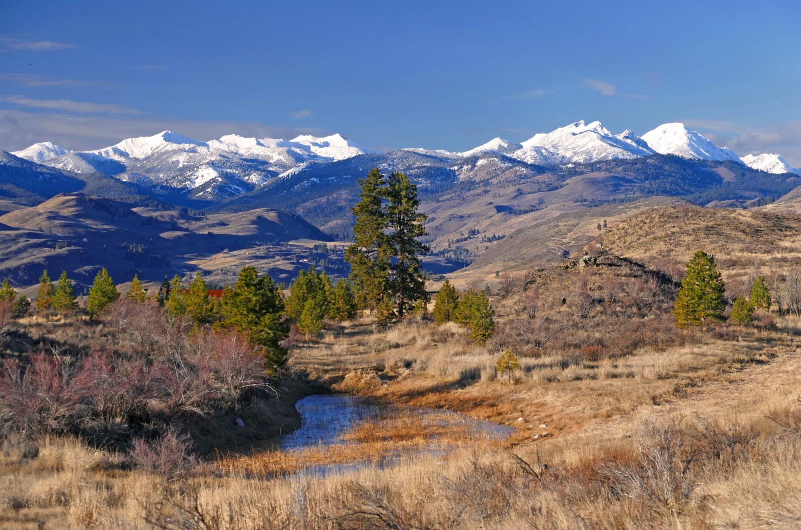
Methow Wildlife Area Unit
The Methow Wildlife Area is located in the Methow River watershed in the western half of Okanogan County, and spans approximately 35,300 acres of land. The area is comprised of shrubsteppe, grasslands, and dry coniferous ponderosa pine forests. Meadow-steppe habitats area also found here, and are characterized by wheatgrass, bluegrasses, and a rich component of broad-leaved forbs.
The wildlife area is managed to relieve mule deer damage to local farmland by creating preferred habitat. Maintaining migration corridors and habitat for the Methow Valley's migratory mule deer herds is the primary goal of most units, but other wildlife from songbirds to salmon also benefit. Many of the units border U.S. Forest Service land. The wildlife area also provides access for wildlife viewing, hunting, fishing, hiking, horseback riding, cross country skiing and other recreation. By actively managing lands, restoring habitats, and preserving wild places, the department serves as stewards for Washington's natural places, protecting the state's land and water for its human and wildlife populations.
Read a story map about the Methow Wildlife Area and learn more about the opportunities and benefits WDFW land management facilitates for the public, wildlife, and habitats.
Visit WDFW's Forest Health story map to find out about the department's forest conservation work on the wildlife area.
Wildlife area units
Management planning
2006 Methow Wildlife Area Management Plan
Every eight to 10 years, the Washington Department of Fish and Wildlife (WDFW) revises management plans for each of its 33 wildlife areas to document current conditions, address new agency initiatives, and identify new management priorities and actions. In between those major revisions, WDFW updates plans every two years to outline short-term objectives and accomplishments. In 2014, WDFW began the process of updating existing plans, many of which were written in 2006. The new plans are being developed with significant public participation and input.